
Today I got up at 0500 so I could excitedly anticipate our pending visit to Joshua Tree National Park. There are three entrances to the park from Highway 62 on the north side, and another on the south side from I-10. Since we wanted to see the village of Joshua Tree. Also, the Marine Base at 29 Palms was a place we wanted to go because we like to visit any military base we can. So, we drove west on I-10 then headed up Highway 62 to Joshua Tree where we stopped at an iHop for breakfast. After ordering our food it took almost an hour for them to produce our food, but we were talking the entire time and didn’t complain. Because of our good nature, the wait staff was pretty amazed that we didn’t throw a hissy-fit about the wait, but we were busy talking about “stuff” and didn’t really notice. For our good nature, they gave us the coffee for free. We thought that was quite nice even though we were more than happy to just go with the flow. It’s Sunday, after all, and everyone showed up at iHop for lunch after church. They were really busy.
After we finished eating, we continued east to 29 Palms where we turned north on Adobe Rd for access to the MAGTFTC/MCAGCC, the largest Marine Base in the US. I don’t know what the acronym MAGTFTC/MCAGCC means so if you’re curious you’ll have to look it up. I can help a little because I’m pretty sure the MC stands for Marine Corps. Oh, never mind, I’ll tell you: MARINE AIR GROUND TASK FORCE TRAINING COMMAND and MARINE CORPS AIR GROUND COMBAT CENTER. I had to look it up.
We drove around on the base looking at the really nice base housing, comparing it to the base housing we lived in for many years. That was 33 years ago so things were bound to change. It was fun to check it out.
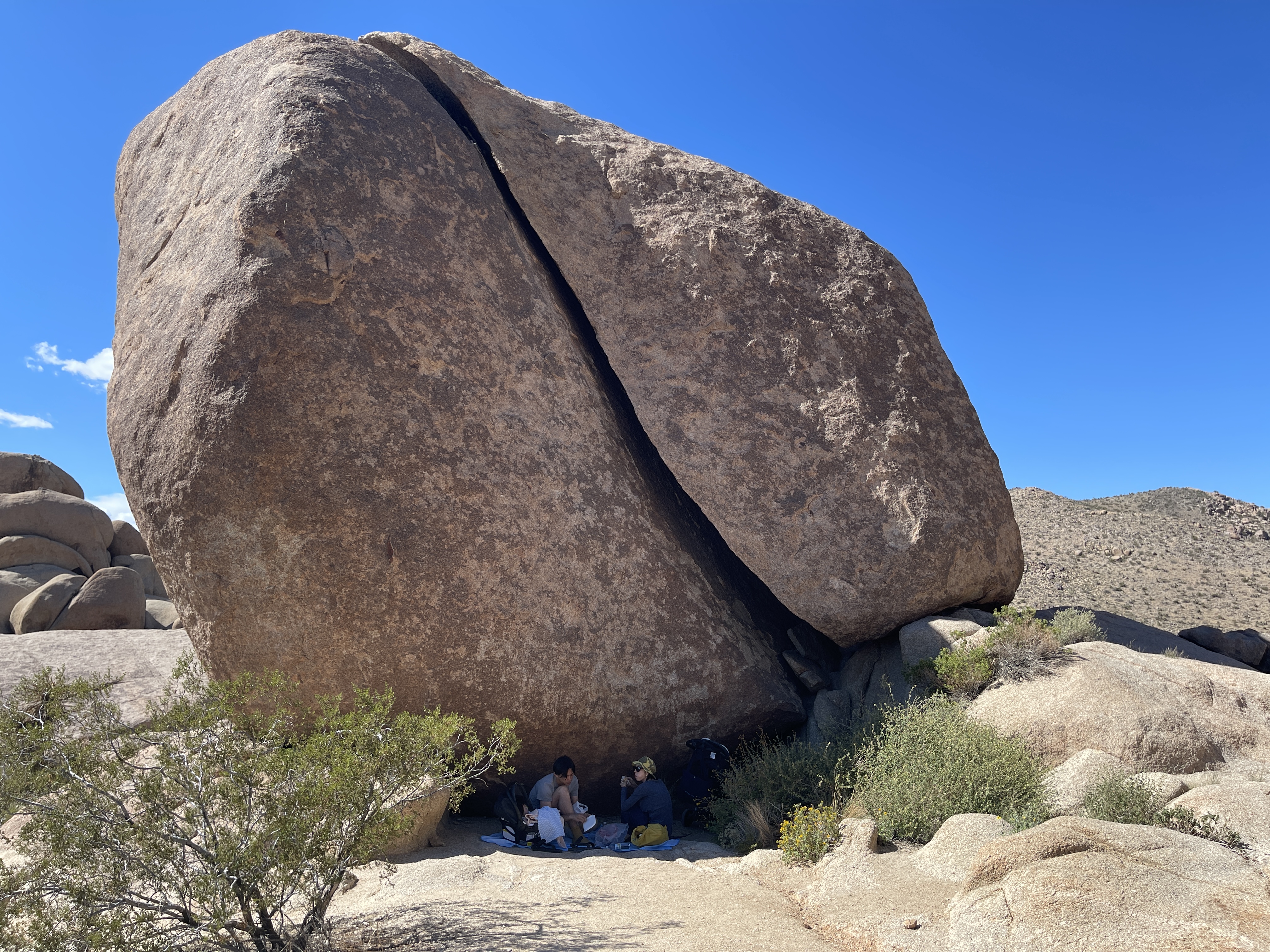
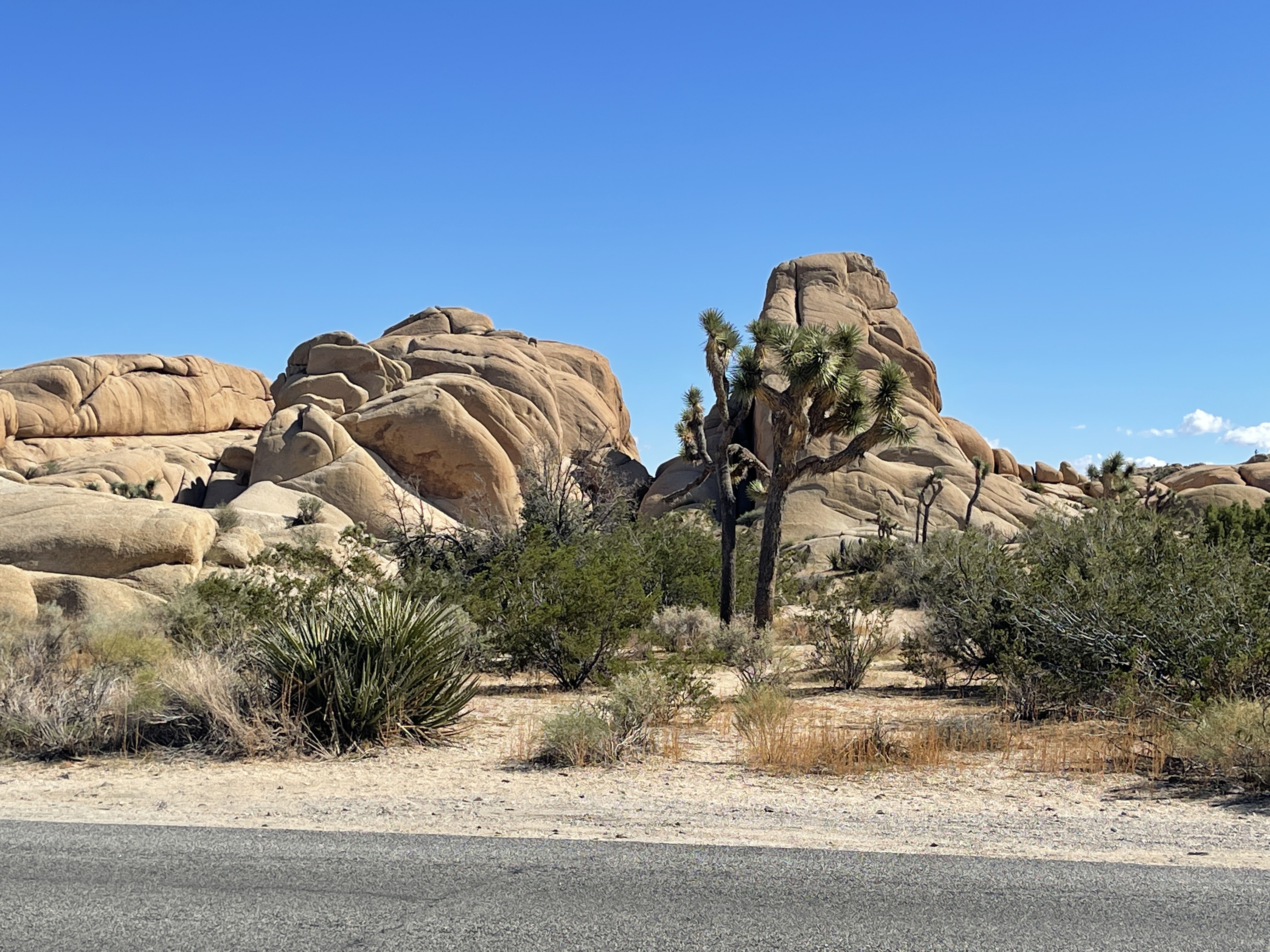
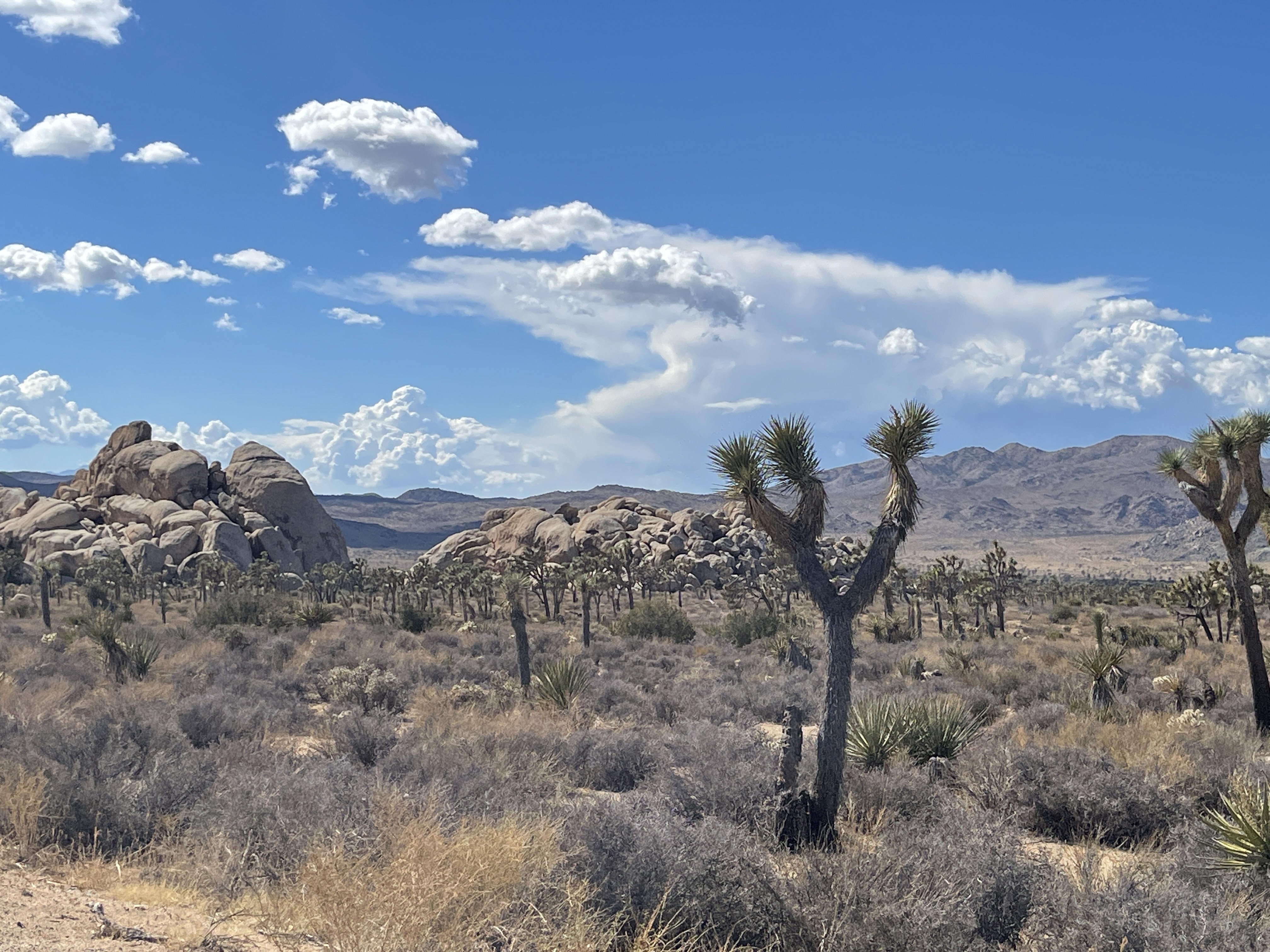
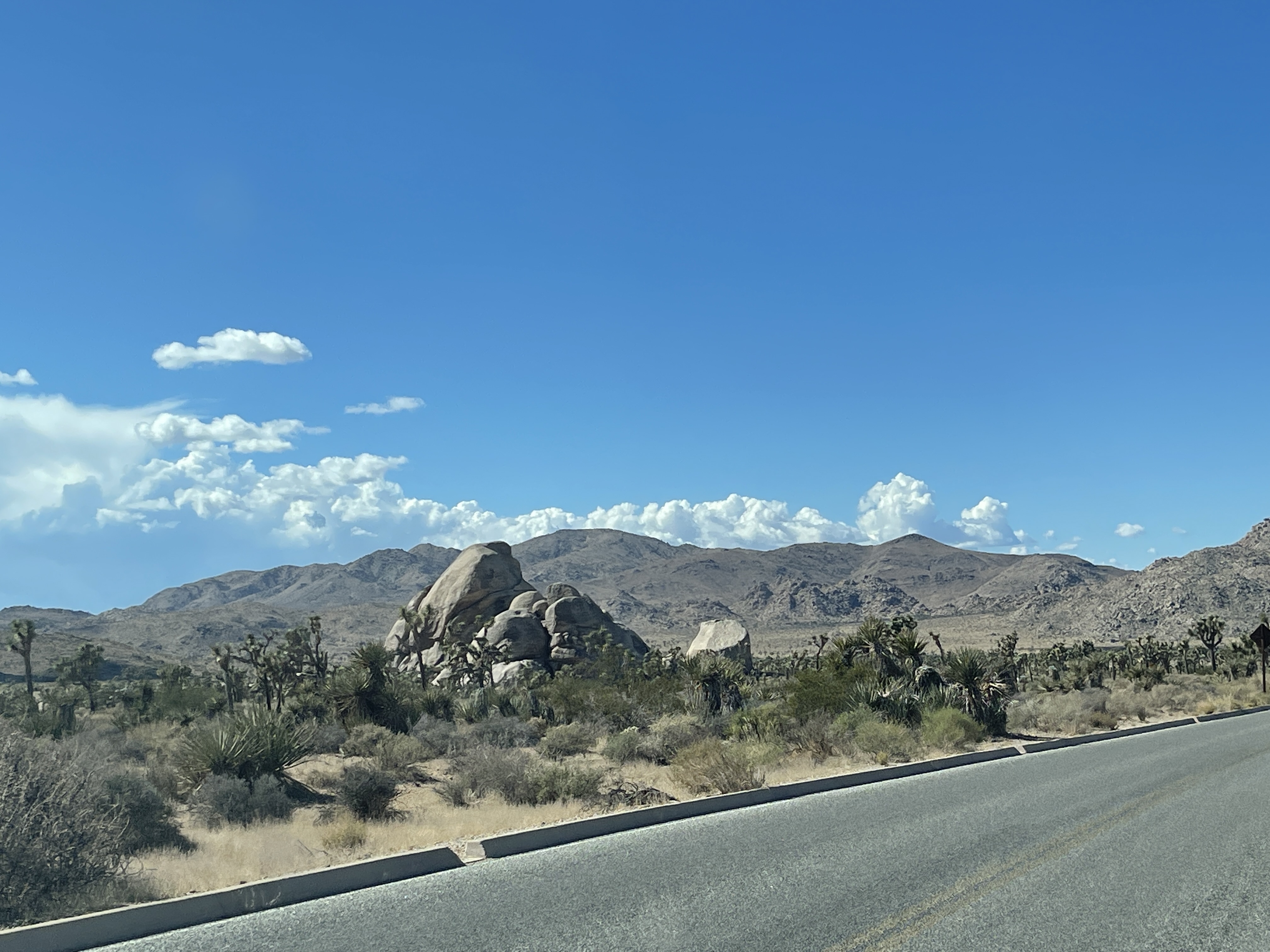
When we drove off the base we continued straight south into the State Park. The change in the landscape was amazing. The rock structures were fascinating. The Joshua trees turned into a forest that filled all the open space between huge piles of rocks that appeared to have been strewn haphazardly by a giant.
Instead of trying to explain it, I’ll just show you …

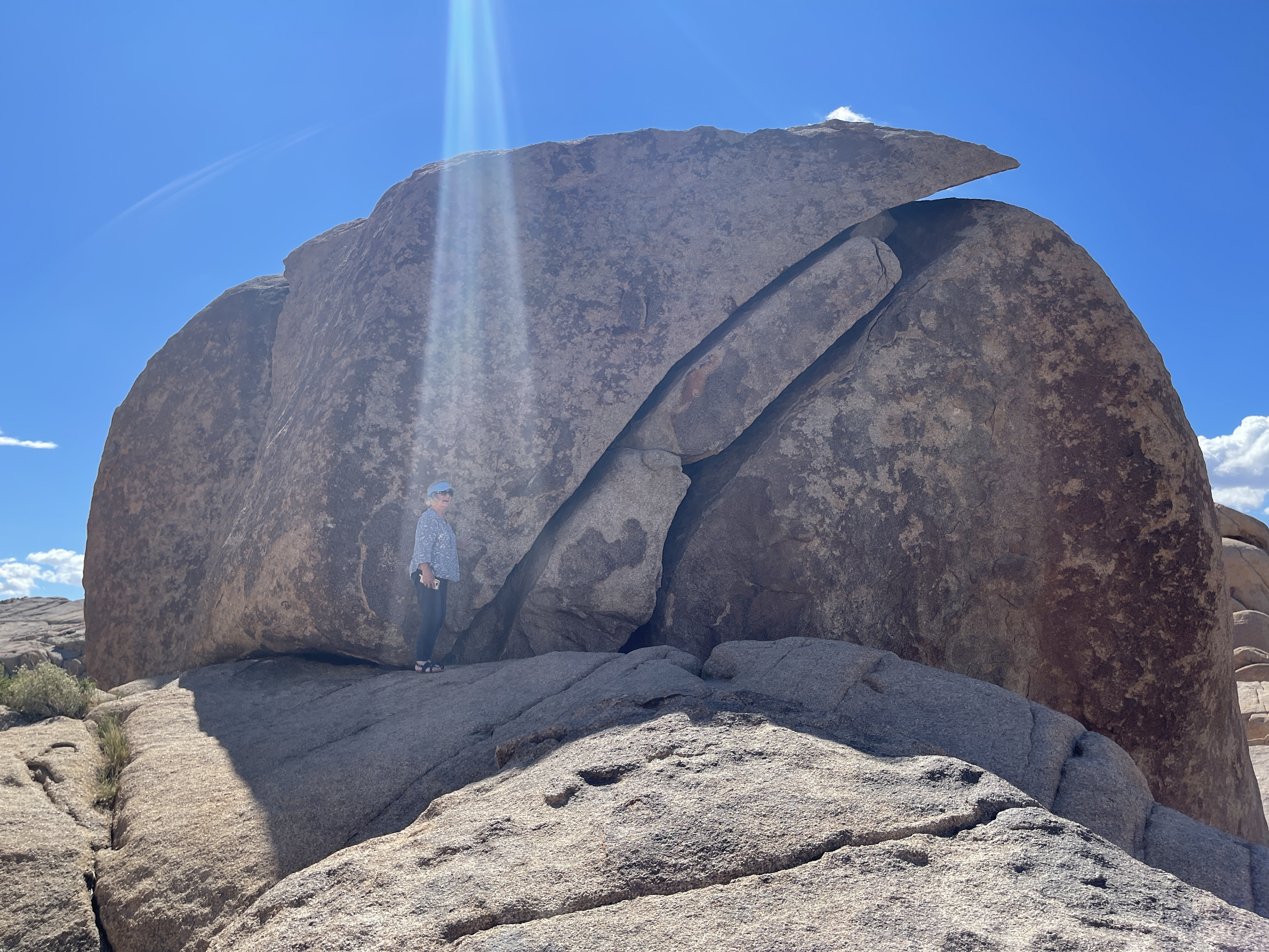
Regarding that last photo … the sun was incredibly bright and I was not able to see what the camera was looking at so it was pure luck that any of them had substance. This one, with a light apparently shining on Diane, caused her a bit of concern wondering what it means. Is it a warning? Is it protection? I have a good feeling about it like God’s shining his light on one of his special people. Or, it’s the Star Trek trying to beam her up, but they missed.


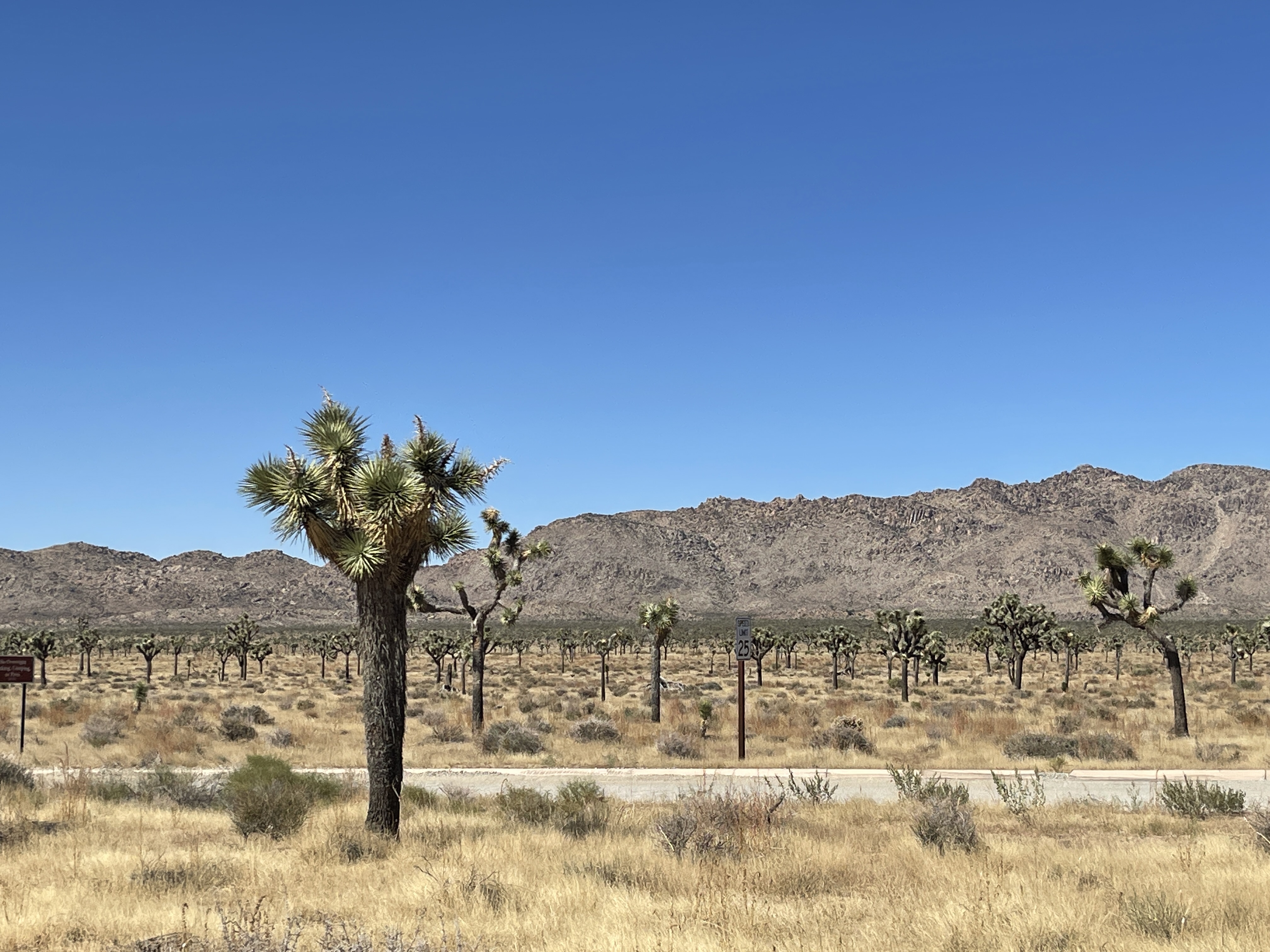


I think you get the idea. That last photo was taken at a location that overlooks the valley in which Palm Springs is snuggled. It’s right below Mt. San Jacinto, elevation 10,833 feet, the mountain on the right.
After viewing this, we went back to our abode. It was a really good day. We got another stamp in our National Parks Passport book.
